|
|
Northumberland Towns and Farms (South Tyndale) |
|
|
Northumberland Towns and Farms (South Tyndale) |
|
Map page for the South Tyndale area |
|
All census information is owned by The National Archives (formerly the Public Records Office). The Crown waives its copyright in the contents of unpublished public records that are available to the public.
|
| Bellingham | Beltingham | Haltwhistle | Henshaw | |
| Knarsdale | Ninebanks | Slaggyford | Whitfield | Melkridge |
| Thorngrafton | Plenmeller | Bardon Mill | Allendale | Haydon Bridge |
| Towhouse | Ridley | Millhouse | Redburn | Willimoteswyke |
| Acomb | Eals | Wall Town | Bellister | Thirlwall |
| Wolf Hills | Angerton | Lambley | Gilsland | |
| Garbutt Hill | Burnstones | Williamston | Halton-lea Gate | Kellah |
| Rowfoot | Cupola | Town Green | Ayle | Horse Close |
| Coanwood |
Blenkinsopp |
Hartleyburn | Greenhead |
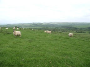
Northumberland sheep ©
|
LIke what you see here? Found what you need? Then please join us at the South Tyndale Research Group forum and let's discuss our Northumberland roots! |
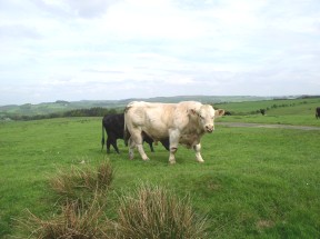
©A fine example of Northumberland cattle.